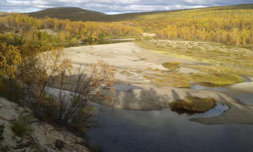
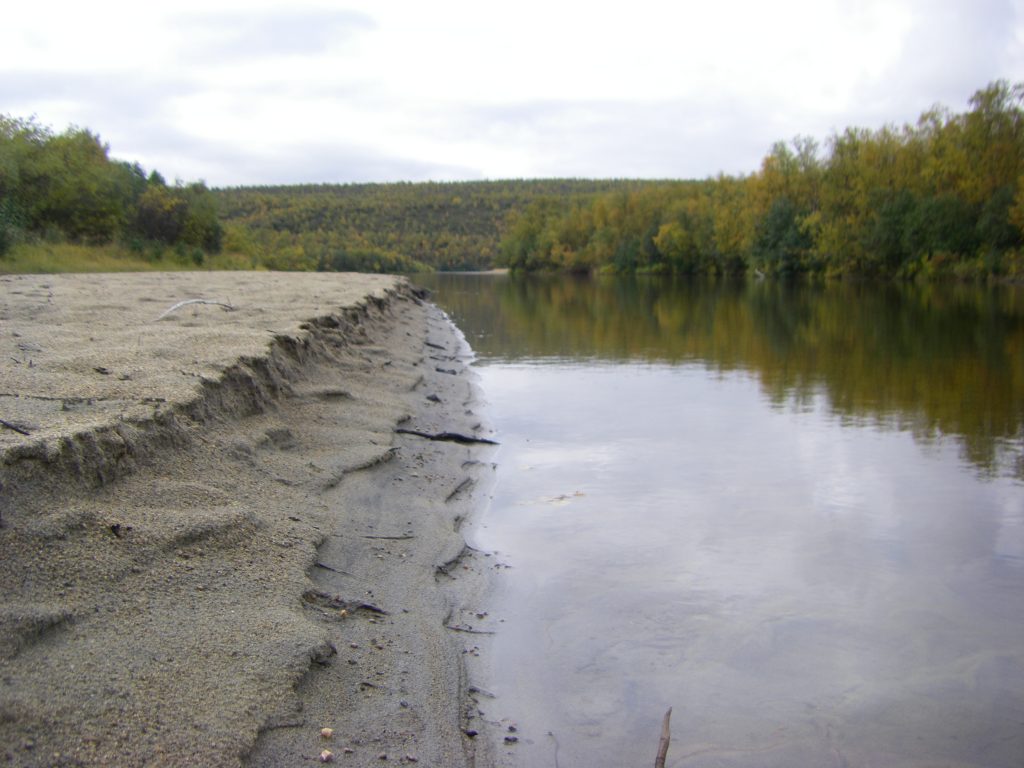
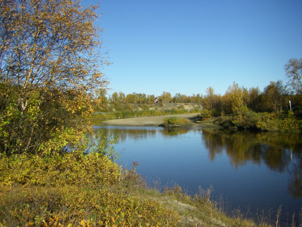
Imagine yourself standing in the light of autumn sun. Trees are already getting their fall colors. There’s nothing much to hear and a river is flowing slowly in front of you. You’re standing in firm sand. Welcome to Pulmanki river valley!
Tua Nylén is a university lecturer in geoinformatics at the University of Turku, Department of Geography and Geology. She is part of Fluvial and Coastal Research Group (FCRG) and responsible for putting together the new dataset. The data and related analyses were the first stepping-stones in the merging of doctor Nylén’s ecogeomorphological research ambitions with FCRG’s long-established studies in the fluvial landscape.
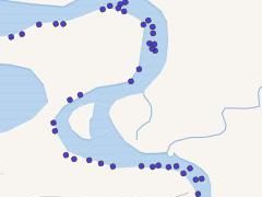
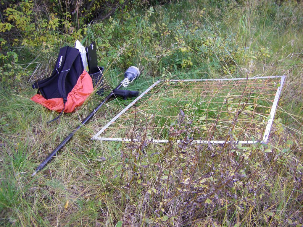
The now published dataset was collected in northern Finland, in the sub-arctic Pulmanki river valley. FCRG has a long history in documenting the development of the valley and testing new methods in this setting. The dataset consists of a random set of 106 plots, 1 m2 each. A field survey in September 2016 included vegetation and soil sampling. In addition, topography, bathymetry, flow conditions and water levels were surveyed during the open-water period in 2009-2016. The data were used in an article (Nylén et al. 2019) that aimed to study how direct measurements – in this case mobile laser scanning, water level and flow measurements that were utilized to model fluvial disturbance more precisely than with traditional methods – and hydraulic modelling can be used to improve vegetation models.
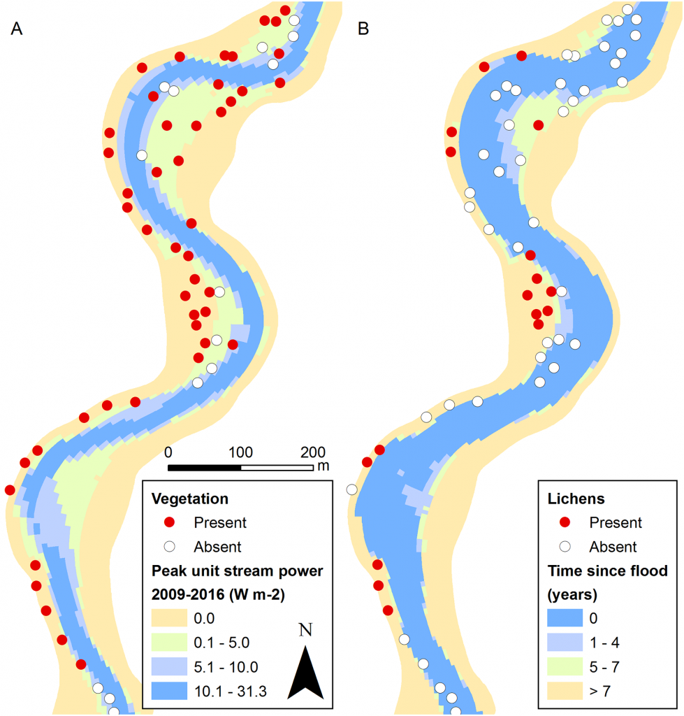
Based on the analysis (Nylén et al. 2019), the most dominant feature affecting species richness in this kind of environment was the amount of litter. In addition, soil organic matter and soil water content were the other two main drivers influencing vegetation patterns.
Nylén thinks that the dataset is suitable for many kinds of methodological testing because many kinds of data have been collected from the same target. The dataset can be utilised, among others, in methodological development based on remote sensing when teaching and testing of algorithms needs observations that have been collected in the field.
Nylén believes that the open sharing of the dataset makes it possible for other researchers to repeat and challenge the conclusions of the research and to edit and to take the ideas to another environment. More information of the data and its collection can be found from the article Nylén et al. 2019. Improving distribution models of riparian vegetation with mobile laser scanning and hydraulic modelling: https://doi.org/10.1371/journal.pone.0225936.
What is FCRG?
- Fluvial and Coastal Research Group (FCRG) is a part of the Department of Geography and Geology in University of Turku
- Led by professor Petteri Alho
- Studies fluvial and coastal environments and their processes
- Concentrate on past, present and future dynamics of rivers and the coast
- Special interest: changing environment and how human activity affects natural processes
- Research themes include e.g. climate change and water, flood hazards and marine geoinformatics in the Baltic Sea
- Develops new, better methods in close-range remote sensing, elevation and bathymetric modelling, as well as hydro- and morphodynamic modelling
- More information of the research group can be found in https://sites.utu.fi/fcrg/.